We provide processing of geologic data to create 2D and 3D geologic models.

Our main „Business partners“ are Carlson Geology and Carlson GeoTech.
Our geological modeling includes:
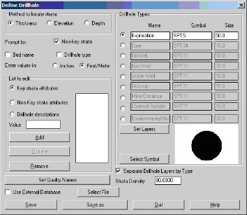
Importing your drillholes data from any format.

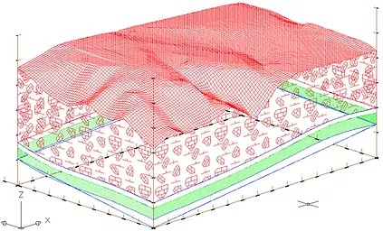
Drawing Geologic Surface and Sub-surface Maps in 2D or 3D in correlation with the topography.

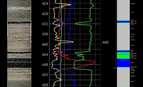
Drawing Geologic Columns.

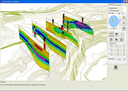
Creating Cross-sections and Fence Diagrams.

Including Faults into the Model

Block Diagrams
Estimating Mine Reserves
Creating Detail Reports
Exporting Model Reports into various formats
Beside Carlson modeling programs we also work with AutoCAD Civil 3D as a world industrial standard.
Please, contact us for any more details.
